Bebeji

BRIEF HISTORY OF THE BEBEJI LOCAL GOVERNMENT AREA

Bebeji is a town and Local Government Area in Kano State, situated about 45 km south‑west of Kano city.

The LGA was created during the administration of General Ibrahim Badamasi Babangida in 1990.

The area is inhabited predominantly by the Hausa and Fulani peoples, Islam is the majority religion, and languages spoken include Hausa and Fulfulde.

Traditional economic activities include agriculture (rice, millet, beans, Irish potato) and craft/metal‑work.

One historical landmark: the Habe Mosque in Bebeji, which is one of the oldest in the region. The presence of the nearby Bagauda Dam has been significant in the area’s water supply and agriculture. Over time the LGA has seen growth in population and infrastructural linkage to Kano metropolis, positioning it for agro‑industrial opportunities.

TOURIST ATTRACTIONS OF THE LGA

The  several key attractions of the Bebeji Local Government Area of Kano State, here are some’s

  1. Habe Mosque, Bebeji – a historic mosque with unique Hausa architectural features (mud‑walls, onion dome) dating back many centuries.
  2. Bagauda Dam (near Bebeji) – scenic reservoir and water‑supply infrastructure, also offers natural views.
  3. Traditional local market in Bebeji LGA – vibrant trading of agricultural produce, crafts, livestock.
  4. Rural Hausa‑Fulani settlements and cultural craft workshops – good for cultural tourism (pottery, leatherwork, blacksmithing) as noted in travel guide.

MINERAL RESOURCES AVAILABLE IN THE LGA

The Bebeji Local Government area is known to host occurrences of the mineral Ilmenite (a titanium‑oxide containing mineral) in the Bebeji region. Also, as part of Kano State, general solid mineral potentials listed include kaolin, silica sand, feldspar, quartz (though not specific to Bebeji in the source)

Suggestion: you may need to verify with the Kano State Mines & Geology Department for a full list of extractable minerals in Bebeji LGA

POPULATION SIZE

At the 2006 Nigerian census, the population of Bebeji LGA was recorded as 191,916.

A projection for 2022 estimates the population at approximately 315,600.

Another 2025 estimate places it at about 320,800.

GEO‑LOCATION OF THE LGA (LATITUDE & LONGITUDE)

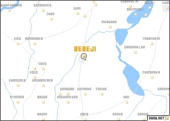
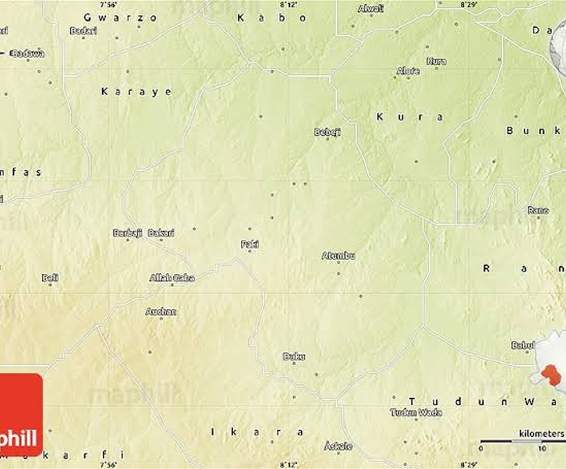
The town of Bebeji Local Government (headquarters of the LGA) lies approximately at Latitude: 11.583° N, Longitude: 8.383° E (≈ 11°35′ N, 8°23′ E) from the map of the nearby Bagauda  dam.

The Local Government Area covers an area of about 717 km².

The supervising authority for the 44 Local Government Areas and the Emirate Council, ensuring effective administration and grassroots development across the state.

Newsletter

Subscribe to receive the latest circulars, budget performance reports, and news regarding state development initiatives directly to your inbox.

Ministry For Local Governmant and Chieftaincy Affairs, Kano State.

Copyright © 2025. All rights reserved.